How to Import Points into Civil 3D | AutoCAD Civil 3D in Hindi | Lesson 2
In this Article today we will talk about the Import Points into Civil 3D | AutoCAD Civil 3D for Surveyors | Import Survey Points into Civil 3D | Importing Coordinates from Excel to AutoCAD | Autodesk Civil 3D in Urdu.
Import point data from an ASCII (text) file or a Microsoft® Access .mdb file into a drawing. Importing points, such as survey point data collected by a data collector, is a quick and effective way to place points into a drawing.
Before you import points, you must create a point file format that describes the layout of the point data in the point data file.
[wpdm_package id=’1912′]
[wpdm_package id=’1915′]
For Importing Points into Civil 3D:
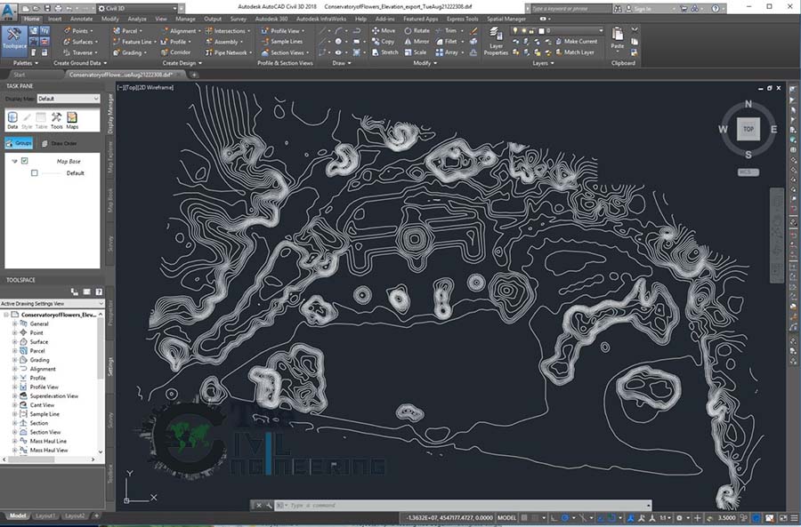
You can add the imported points to a point group, make adjustments to the data as it is imported, including elevation adjustments, coordinate transformation, or coordinate data expansion, encounter how the imported points are numbered as they are created.
![]() Tutorial Exercise: Importing Points from a Database
Tutorial Exercise: Importing Points from a Database
- Specify the Point Identity settings, which control the point numbers of the created points.
- Click Find.
- On the Create Points toolbar, click the Import Points button.
- In the Import Points dialog box, click
 , and select the point data files you want to import.
After you have specified a point file, the Specify Point File Format list is filtered by the file types that are potential matches for the file that you selected.
Note: To toggle off or on the file format filter, click .
.Based on the specified point file format, the selected point file is parsed and a preview is displayed in the Preview area.
- Select the appropriate point file format.
The display of the Preview area changes to reflect the currently selected point file format and the contents of the selected point file.
- Optionally, specify a point group to which the imported points are added.
- Optionally, specify advanced options for elevation adjustment, coordinate transformation, or coordinate data expansion.
- Click OK to import the points.
AutoCAD Civil 3D Full Training Lessons:
AutoCAD Civil 3D Tutorial in Hindi Lesson 0 | How to Download Install and Activate AutoCAD Civil 3D
AutoCAD Civil 3D Tutorial in Hindi Lesson 1 | The Civil 3D Interface
AutoCAD Civil 3D Tutorial in Hindi Lesson 2 | Import Points and Drawing Settings
AutoCAD Civil 3D Tutorial in Hindi Lesson 3 | Create Surface with Contours
AutoCAD Civil 3D Tutorial in Hindi Lesson 7 | Create Curve Widening to an Offset Alignment
AutoCAD Civil 3D Tutorial in Hindi Lesson 8 | Create Surface Profile and Profile Views Creation
AutoCAD Civil 3D Tutorial in Hindi Lesson 9 | Create Design Profile on Existing Road Profile
AutoCAD Civil 3D Tutorial in Hindi Lesson 10 | How to Create Surface Profile from File
Conclusion:
Full article on Import Points into Civil 3D | AutoCAD Civil 3D for Surveyors | Import Survey Points into Civil 3D | Importing Coordinates from Excel to AutoCAD | Autodesk Civil 3D in Urdu. Thank you for the full reading of this article in “The Civil Engineering” platform in English. If you find this post helpful, then help others by sharing it on social media. For more detail please watch the above video tutorial and If you have any question regarding article please tell me in comments.
24 Comments
FGL FILE IS SHOWING 00KB DATA KINDLY UPDATE
But both links are working fine please try again and if you have any problem please comment
Dear Waseem Sir.
FGL file not downloading. Still asking dont have access. What to do. one more thing in civil 3d point cloud tab not showing. How to solve this issue. i am new to civil 3d.I am following to your tutorials step by step.
make sure you should first sign in on “The Civil Engineering” website and also sign in on google with your gmail id after that access this link then you will able to download if you have still issue please tell me in comments.
Please help me to find link of NGL and FGL files because I am unable to find it in this blog.
I have tried to find the file by clicking on the link that you have mentioned in the description of video on YouTube, but it only opens up this website.
this site is under maintenance later i will upload, Thanks for the comments please visit more articles by clicking on “All Posts” tab of the Menu Bar
Couldn’t download the file brother help me download it.
Regards
this site is under maintenance, i will upload later
Sir please upload NGL & FGL files….
Link se download nhi ho rha hai…pls help me sir
this site is under maintenance i will upload soon
Ngl and fgl file not found
i will upload later
NGL and FGL file not found. Please help.
i will post this link soon
sir file provide karo please
i will upload later
Sir please upload NGL and FGL Files as soon as possible.
I will upload later please stay in touch, Thanks for the comments please visit more articles by clicking on “All Posts” tab of the Menu Bar
plz sir upload file
plz provide file
i will upload later
sIR, wHERE YOU UPLOAD NGL AND FGL
I will upload later please stay in touch, Thanks for the comments please visit more articles by clicking on “All Posts” tab of the Menu Bar
Where are the sample points?