How to Create Road Alignment Coordinates Report XML XLS in AutoCAD Civil 3D | AutoCAD Civil 3D in Hindi | Lesson 5
In this Article today we will talk about the Create Road Alignment Coordinates Report | XML XLS Report in Civil 3D | Export Alignment Coordinates from Civil 3D to Excel | Alignment PI Station Report | AutoCAD Civil 3D Training in Hindi.
Create a report that lists the horizontal tangent, curve, and station equation information for a range of stations.
- In the Toolspace, on the Toolbox tab, expand Miscellaneous Utilities
 Reports Alignment. Double-click Horizontal Alignment Report.
 - In the Create Report – Horizontal Alignment Report dialog box, clear any check boxes that are next to alignments that you do not want to include in the report.
- To modify the starting and ending stations that are reported for an alignment, select an alignment in the list and specify the starting and ending stations under Report Settings.
- Under Save Report To, click
 to browse to the location to which you want to save the report, enter a file name, and select a file format.
 - Click OK.
The report is displayed, and is saved to the specified location.
In this exercise, we will learn about How to Create Road Alignment Coordinates Report XML XLS in AutoCAD Civil 3D:
Road Alignment Coordinates Report:
- Sub Entity Editors
- Delete Sub Entities
- Pick Sub Entity
- Change/Edit Sub Entity
- Alignment Grid View
- Create Alignment from Object
- Create Alignment Offsets
- Alignment Properties
- Alignment Style
- Alignment Geometry
- Alignment Labels
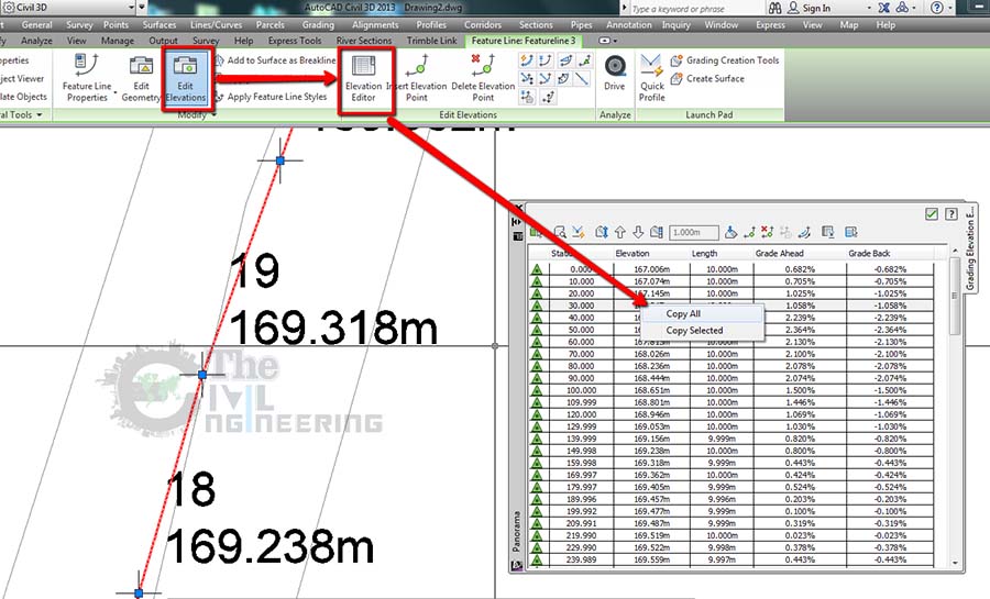
- Incremental Stationing Report (With Station and Coordinates)
- Export Alignment Data (STA & Coordinates) to MS Excel
Road Alignment Coordinates Report:
AutoCAD Civil 3D Full Training Lessons:
AutoCAD Civil 3D Tutorial in Hindi Lesson 0 | How to Download Install and Activate AutoCAD Civil 3D
AutoCAD Civil 3D Tutorial in Hindi Lesson 1 | The Civil 3D Interface
AutoCAD Civil 3D Tutorial in Hindi Lesson 2 | Import Points and Drawing Settings
AutoCAD Civil 3D Tutorial in Hindi Lesson 3 | Create Surface with Contours
AutoCAD Civil 3D Tutorial in Hindi Lesson 7 | Create Curve Widening to an Offset Alignment
AutoCAD Civil 3D Tutorial in Hindi Lesson 8 | Create Surface Profile and Profile Views Creation
AutoCAD Civil 3D Tutorial in Hindi Lesson 9 | Create Design Profile on Existing Road Profile
AutoCAD Civil 3D Tutorial in Hindi Lesson 10 | How to Create Surface Profile from File
Conclusion:
Full article on Create Road Alignment Coordinates Report | XML XLS Report in Civil 3D | Export Alignment Coordinates from Civil 3D to Excel | Alignment PI Station Report | AutoCAD Civil 3D Training in Hindi. Thank you for the full reading of this article in “The Civil Engineering” platform in English. If you find this post helpful, then help others by sharing it on social media. For more detail please watch the above video tutorial and If you have any question regarding article please tell me in comments.